Empty, undulating peat can feel like an ocean when you're standing on it — one that offers few landmarks and many soft, treacherous sinks. Over the years I've learned that the landscape often leaves clues if you know where to look: a faint sheep-track, an old cairn, a line of tussocks, or the way water runs over the bog. These small signs can be the difference between a confident crossing and a wet, disoriented slog. Below I share practical, experience-based guidance on reading sheep tracks and cairns for route-finding across featureless upland bogs, balanced with safety and conservation considerations.
Why sheep tracks and cairns matter
Sheep tracks are made by repeated, purposeful movement across the land. Cairns, whether ancient boundary markers or informal piles added by walkers, are human signals of direction or place. Both are invaluable in areas where contour lines on a map don't translate into visible features underfoot. I use them as supplements to map-and-compass navigation and GPS, not as a replacement. They provide rhythm and local logic to route-finding: where animals and people have crossed before is often where the ground is firmer, drier, or at least passable.
How to recognise reliable sheep tracks
Not every faint line is worth following. Over time I've developed a checklist I run through when I spot tracks:
When I find a track, I pause and look back along it to see whether it leads toward a distinct feature (stream, wall, gully, cairn) or is simply a local foraging path. If it connects to a known feature on my map, it's a sign of reliability.
Reading cairns: heritage and human intent
Cairns come in many flavours: ancient burial or boundary markers, shepherds' waypoints, or modern stacks from hopeful walkers. Sorting these out matters:
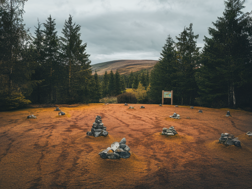
When I reach a cairn I ask: does it align with a navigational intention on my map? Does it sit above ground that looks firm? If a cairn sits alone on spongy peat with no logical continuation on the map, I treat it cautiously and look for corroborating signs — other cairns, tracks, or earthworks.
Practical steps for using tracks and cairns safely
Use the following workflow I use on bog crossings:
Kit and tech that help
My pack always contains tools that complement track-and-cairn reading:
Interpreting common bog cues
| Feature | What it usually means |
|---|---|
| Sheep track following contour | Safer, well-used route; likely firmer ground |
| Series of small cairns along a line | Purposeful route marking — often a shepherds' path or boundary walk |
| Network of random hoofprints | Local grazing area, not useful for cross-country navigation |
| Vegetation banding (sedge/tussock changes) | Indicates wetter versus drier ground — skirt the wet bands |
| Old drystone wall or fence line | Reliable linear feature; follow to reach a gate or track |
Conservation and low-impact ethics
Crossing peatlands carries responsibility. Peat stores carbon and supports specialised wildlife; trampling and creating new paths accelerates erosion. I try to:
On Borderhike Co. I write often about peatland restoration and the importance of staying on durable surfaces. If you see damage, consider reporting it to the relevant land manager or conservation body rather than trying to “fix” it yourself with more stones.
Example scenario: crossing from wall to stream
Last autumn I needed to cross a broad expanse of peat to reach a wall that showed on my map as a useful line. There were no obvious tracks across the middle, but a faint sheep-track traced a shallow arc between tufts of purple moor-grass. It aligned with a break of slope I could pick out on the map. I tested the track with my poles and found sections of firm peat and one small hollow filled with water. I skirted the hollow by angling a few degrees downhill and rejoined the track where it climbed toward a low cairn on the wall line. By combining the sheep-track, cairn, map and a couple of probe steps I crossed with dry feet and a clearer sense of how the landscape was used.
Reading sheep tracks and cairns is as much about humility as skill. They are clues left by other users of the land — animals and people — and they rarely tell the whole story. Treat them as part of a layered approach: map, compass, tech, local signs and careful testing of the ground. With practice you’ll develop a sense for which lines to trust and when to trust your own judgement. And remember: the aim is to move through these fragile, beautiful edges of Britain with curiosity, respect and a light footprint.