Planning a multi-day border hike that relies on public transport and low-impact wild camping is one of my favourite ways to explore Britain's edges. It combines the logistics of moving between towns and villages, the satisfaction of carrying only what you need, and the quiet reward of spending nights beneath big skies. Below I share the practical steps I use to turn an idea into a walkable itinerary, with tips on transport, wild camping ethics and kit so you can plan a trip that’s doable, responsible and actually enjoyable.
Choose a border route that suits transport links
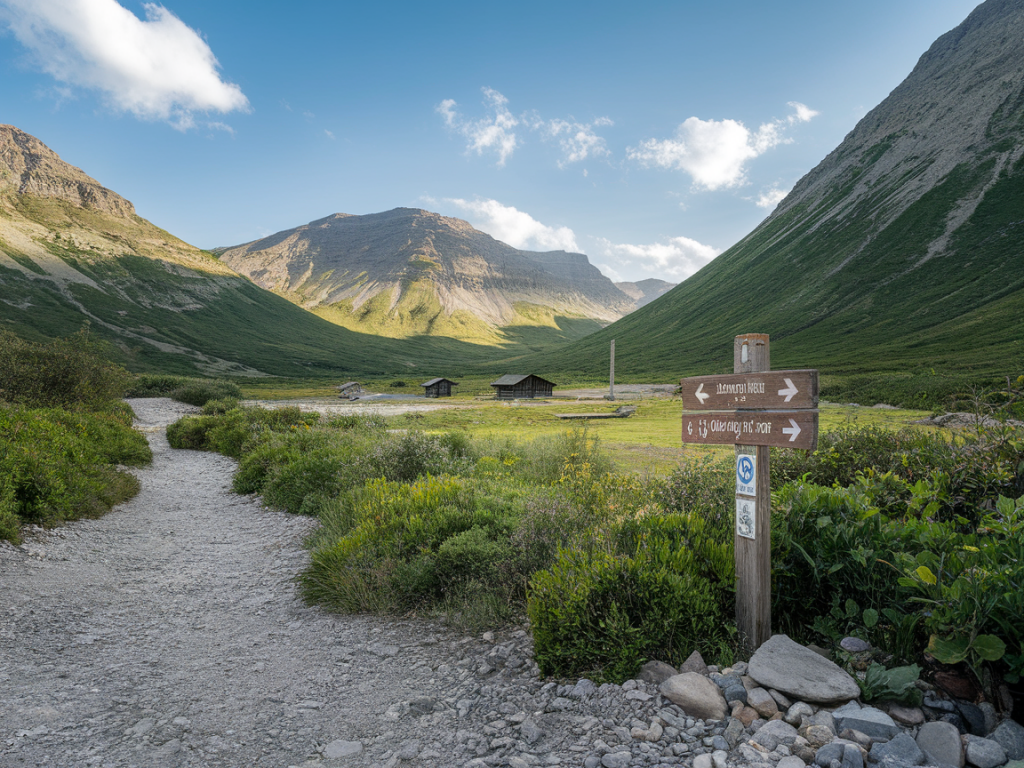
Start with the geography. Coastlines and river valleys often have the best public transport access, while remote uplands may require longer walks to reach a bus stop. I look for routes that follow a natural corridor — a river, coastal path, or historic border track — and then check how towns and stations sit along that corridor.
Use these principles to shortlist routes:
Examples of good corridors: the Scottish Borders (fair rail links to Galashiels, Tweedbank), the Cumbrian coastal strip, and sections of the Northumberland Coast with regular buses in summer. If you’re crossing the England–Scotland border, remember ScotRail and CrossCountry services can be helpful anchors for your plan.
Research public transport in detail
Don’t rely on a single timetable website. I cross-check National Rail for trains, Traveline or local council sites for buses, and operator pages (Stagecoach, Arriva, ScotRail, etc.) for seasonal changes and disruption notices. Key checks:
A small table I often build for myself shows each night’s planned camp location, nearest station/bus stop, and the earliest/latest achievable connection. This makes resupply and contingency planning much easier.
| Day | Camp/Stretch | Nearest Transport |
|---|---|---|
| 1 | Coastal headland | Village bus stop (Stagecoach) — 09:30 & 16:45 |
| 2 | Peatland edge | Small town station (Northern) — regular service |
Wild camping — legality and low-impact choices
Wild camping laws differ across Britain. In Scotland, wild camping is generally permitted on most unenclosed land, provided you act responsibly. In England and Wales, it’s usually only legal with landowner permission except in certain areas (e.g. Dartmoor permits in the past). Always check local guidance — National Parks and AONBs often have clear pages.
My approach to low-impact wild camping:
Water, food and resupply strategy
Water is non-negotiable. I plan to carry at least 1–2 litres between reliable sources and carry a lightweight filter (Sawyer Squeeze, Katadyn BeFree) or chemical treatment as a backup. Identify reliable water points on your map — springs, taps in villages and known stream crossings.
For food, balance weight and morale: dehydrated meals are light, but biscuits, cheese and cured meats make better day snacks. Plan resupply towns every 2–3 days when possible. Many small shops in rural Britain carry basics; larger towns provide supermarkets. Keep a small emergency food stash in a waterproof bag.
Navigation and planning tools
I use a paper map (OS Explorer or Landranger) and a compact compass even when I run GPS apps. My digital toolkit includes OS Maps app (offline maps), ViewRanger (or its successor, Outdooractive), and a route-planning app like Komoot for elevation profiles. Make sure you download offline maps and save waypoints for camps and water points.
Choosing kit for low-impact multi-day hikes
Lightweight, durable and weatherproof are the priorities. I favour a backpack around 35–50L for multi-day hikes where resupply is possible. Essentials I rarely compromise on:
Safety, contingencies and community etiquette
Tell someone your plan and check in at agreed points. I always carry a small personal locator (Garmin inReach Mini, SPOT) for remote sections. Weather can change fast on coasts and uplands; plan conservative daily distances and identify bail-out points with transport links.
Respect local communities: buy a coffee or sandwiches in village shops when you can, avoid noisy camps and keep dogs under control in grazing areas. Conservation is central — support peatland restoration projects, report pathology or pollution responsibly, and follow local signage when access is restricted for habitat protection.
Example short itinerary framework
Here’s a simple 4-day outline I’ve used as a template:
Each day has a transport contingency — if the weather or legs fail, there’s always a bus or train planned within a reasonable walk.
If you want, tell me your target border area (e.g. Northumberland, the Scottish Borders, Cumbria) and how many days you have, and I’ll sketch a tailor-made itinerary with likely transport links, sensible daily distances and low-impact camping options.